|
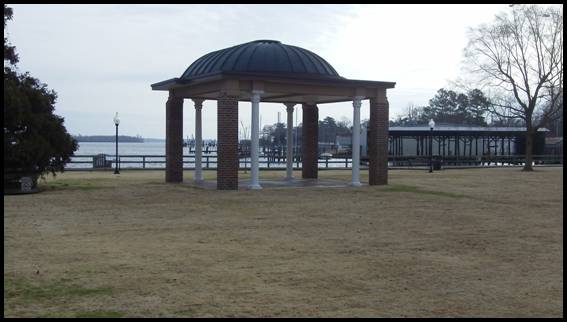
Tour Site #11 |
|
|
|
|
|
|
|
GPS coordinates: 36.29715,-76.217917 |
|
The gazebo is
fashioned from a portion of the portico roof of the old |
|
|
Entrance to |
|
|
|
|
|
|
|
|
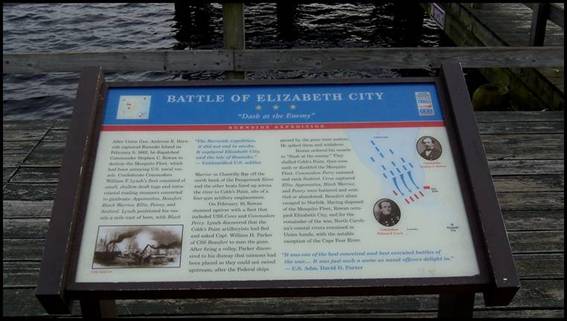
The Civil War
Trails marker “Dash at the Enemy” covers the action during the |
|
|
“Dash at the Enemy” |
|
|
|
|
|
|
|
|
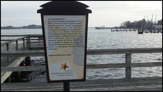
The |
|
|
Underground Railroad |
|
|
|
|
|
|
|
|
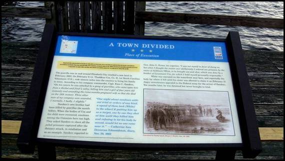
Daniel Bright was
executed by General Wild near this spot during Wild’s Expedition into
northeastern |
|
|
“Place of Execution” |
|
|
|
|
|
|
|
|
|
|
|
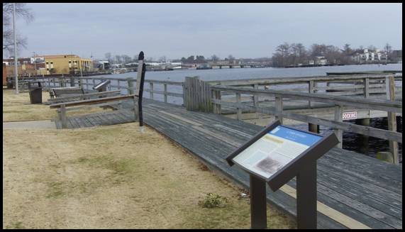
Three markers at Waterfront Park |
|